Remember how we used to talk about wildfire risk? It felt… manageable. Predictable, even. We’d pull up the burn scar maps, look at historical data, and draw some pretty confident lines on a map. "This area burned five years ago, so it's low risk." "That canyon has never burned, so we'll watch it." It was our playbook, and for a long time, it seemed to work.
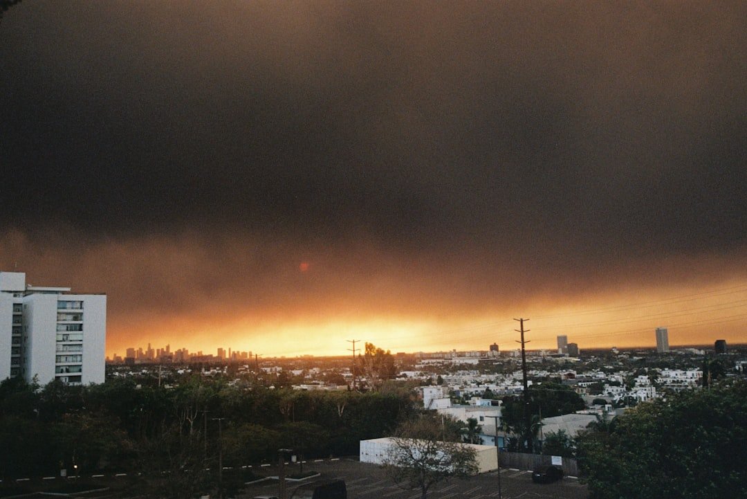
Then, Los Angeles burned. And it wasn't just a fire; it was a reckoning.
A year later, we're still sorting through the ashes, and I'm not just talking about the physical damage. I'm talking about the $40 billion hole it blew in our industry's balance sheets and, more importantly, in our old way of thinking. That event was a brutal, expensive lesson that the playbook we relied on is officially obsolete.
Why the Old Maps Don't Lead Anywhere Anymore
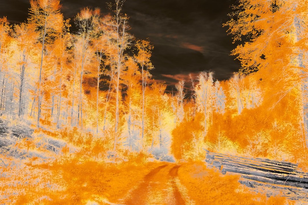
Here’s the thing that really shook everyone: the fires didn't follow the old rules. They blazed through areas we once considered safe, including places that had burned before and were theoretically low on "fuel."
Think of it like this: for decades, we used historical burn maps as our primary navigation tool. It was like using a paper road atlas from 1990. Sure, it showed the major highways, but it didn't account for the new suburbs, the rerouted interstates, or the constant, grinding traffic that defines modern driving. You’d be hopelessly lost.
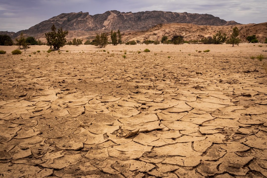
That's exactly what happened to our risk models. We were looking at the past, but climate change was fundamentally rerouting the future of wildfires. The prolonged droughts, the shifting wind patterns, the higher average temperatures—these weren't just minor detours. They were building entirely new, eight-lane superhighways for fire to travel, and our old maps didn't even show them.
The idea that a recently burned area was "safe" for a while got thrown right out the window. We learned the hard way that in today's climate, vegetation can grow back faster and drier than ever, turning a recent burn scar into fresh fuel in a shockingly short amount of time.
The $40 Billion Wake-Up Call We Couldn't Ignore
Let's be honest with each other. The insurance world can be slow to change. We're built on centuries of data and principles of gradual, predictable risk. But you know what gets people to move fast? A $40 billion loss.
That number is staggering. It’s the kind of figure that makes board members and underwriters sit up and realize that this isn't a fluke or a "once-in-a-century" event anymore. This is the new normal. Continuing to write policies based on outdated assumptions wasn't just bad business; it was a guaranteed path to insolvency.
The LA fires weren't just another catastrophe on the books. They were a clear signal that the climate had changed the very nature of the risk we were insuring. The frequency, the intensity, and the sheer unpredictability of these fires exposed just how vulnerable our models were. We were essentially driving blindfolded, and we finally hit a wall.
So, What's the New Game Plan?
You can't fix a problem this big with a small tweak. You have to throw out the old atlas and invest in a brand-new, real-time GPS. For the insurance industry, that GPS is what we're calling "climate-aware analytics."
It sounds a bit like corporate jargon, I know, but the idea behind it is actually pretty simple and incredibly smart. Instead of just looking backward, we're now trying to look forward.
Here’s what that actually means in practice:
- We're looking beyond history: The new models ingest massive amounts of real-time and predictive data. We're talking about everything from soil moisture levels and vegetation health (tracked by satellite) to long-range wind pattern forecasts and drought projections.
- It's about conditions, not just location: The focus has shifted from "where has it burned before?" to "what are the conditions on the ground right now and what will they be next week?" A home's risk profile can change dramatically based on a dry spell or an incoming Santa Ana wind event.
- Hyper-local analysis is key: Instead of painting entire zip codes with a broad brush, these new tools can analyze risk on a property-by-property basis. They can account for the slope of the land, the type of surrounding vegetation, and even the distance to the nearest fire department.
It's a fundamental shift from a static, historical view to a dynamic, predictive one. We're finally trading our rearview mirror for a forward-facing dashboard packed with sensors. It’s more complex, for sure, but it’s the only way to navigate the road ahead.
What This All Means for Us on the Ground
This isn't just a high-level conversation for actuaries and executives. This shift is changing everything for agents, brokers, and especially for homeowners.
When we have a more accurate, granular picture of risk, the consequences are real. It means some homeowners in high-risk areas are seeing steep premium increases or even non-renewal notices. It's a tough, painful conversation to have with a client who has been insured for 20 years without a claim.
But it also means that we can be smarter about mitigation. We can now tell a client, "Look, the data shows your risk is elevated because of the dense, dry brush on the west side of your property. If you clear that, we can tangibly reduce your risk and potentially lower your premium." It allows us to move from simply pricing risk to actively helping manage it.
The LA fires were a tragedy, without a doubt. But if there’s a silver lining, it’s that they forced us to confront a reality we were trying to ignore. They dragged our industry into the 21st century of risk assessment. It's a painful adjustment, and we're still figuring it all out, but it's a necessary one. We can't stop the winds from blowing or the rain from stopping, but we can get a whole lot smarter about how we prepare for what's coming next. And that, right there, is the lesson that’s worth every penny of that $40 billion price tag.